Saint Lucia Island
Saint Lucia Tourist Information and Vacation Guide
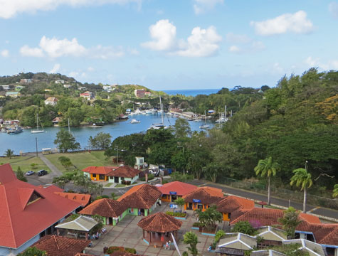
Saint Lucia is a mountainous island situated in the eastern Caribbean. It is part of the Lesser Antilles (Caribbees).
The French island of Martinique is situated north of St. Lucia while St. Vincent and the Grenadines are south of the island. The Atlantic Ocean lies to the east of the island.
The capital and largest city on the island is Castries. It is situated on the west coast of Saint Lucia.
The island features an active volcano (Mount Soufriere) and many beautiful bays including Marigot Bay.
View map of Saint Lucia.